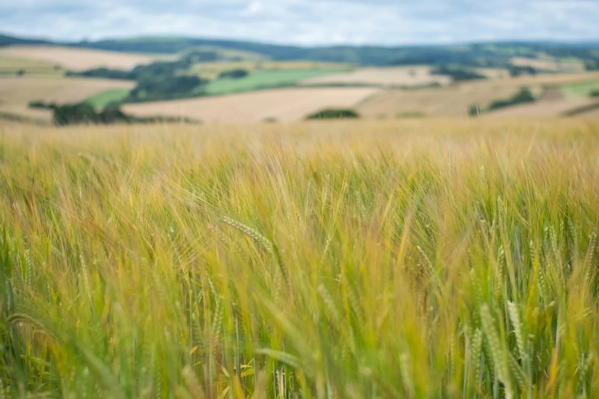
Satellite crop checks for wheat, barley and oilseed rape
How it works
In the web app and the phone app.
Set the crop for each field
Wheat, barley or oilseed rape, with the planting date if known.
Wait for a clear picture
Sentinel-2 passes every few days. Cloudy passes are skipped and flagged.
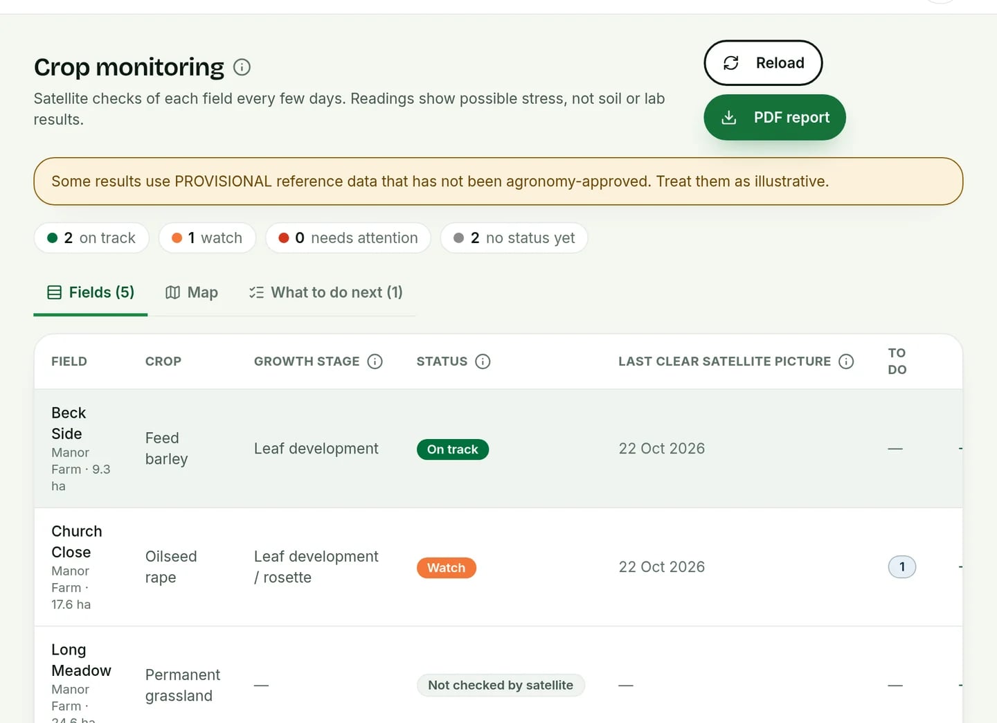
See which fields to look at
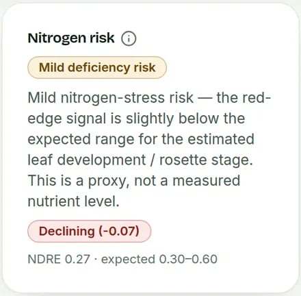
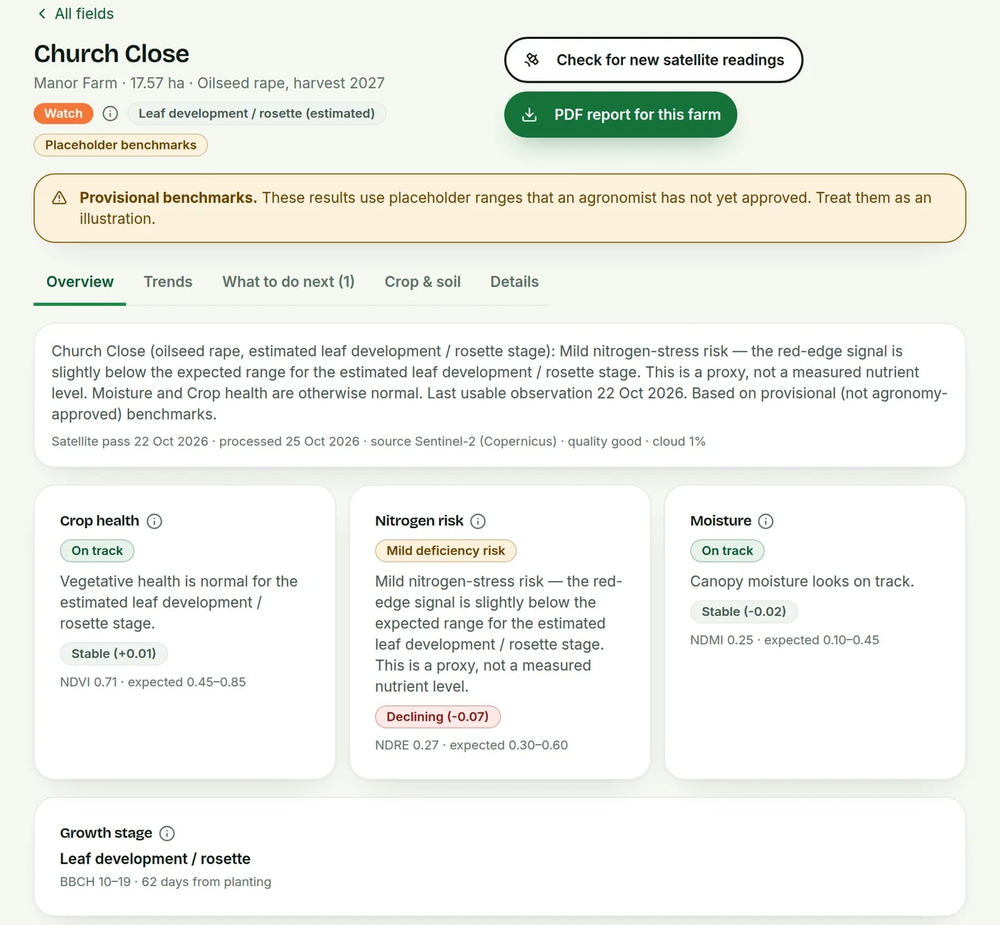
Latest readings and changes per field, explained in plain English.
Common questions
What can I do with Crop monitoring in AgriSync?
Every few days a Copernicus Sentinel-2 satellite passes over your farm. AgriSync uses each clear picture to show how green and thick your wheat, barley and oilseed rape look, with nitrogen and moisture readings for each field. Cloudy pictures are skipped. Until an agronomist has signed off AgriSync's normal ranges for each crop, any field status is a guide only.
What do I need to use it?
Fields in AgriSync with wheat, barley or oilseed rape. Planting dates, for better growth-stage estimates. It is free during early access.
Is it real satellite data?
Yes. The pictures come from the Copernicus Sentinel-2 satellites, through the Copernicus Data Space Ecosystem. AgriSync sends it your field outlines and dates only, never your name.
What is NDVI?
A number from satellite pictures. It shows how green and thick a crop looks from space. AgriSync also uses other light readings for nitrogen and moisture.
Are the field statuses final?
Not yet. AgriSync's normal ranges for each crop are waiting for an agronomist's sign-off. Until then, a field may show its readings with no status, or a status marked as indicative. We say so on the screen.
Can it tell me how much nitrogen to apply?
No. The readings point to fields that may be struggling. They are not soil or leaf tests. Check with your agronomist before you act.
What about grass and other crops?
Grassland and other crops show on the map but don't get satellite readings yet.
Free during early access
Try it on your own farm
We'll phone you and set up your fields with you, or you can start on your own. No card needed.